Watershed Relief - Earthtones
Watershed Relief - Earthtones
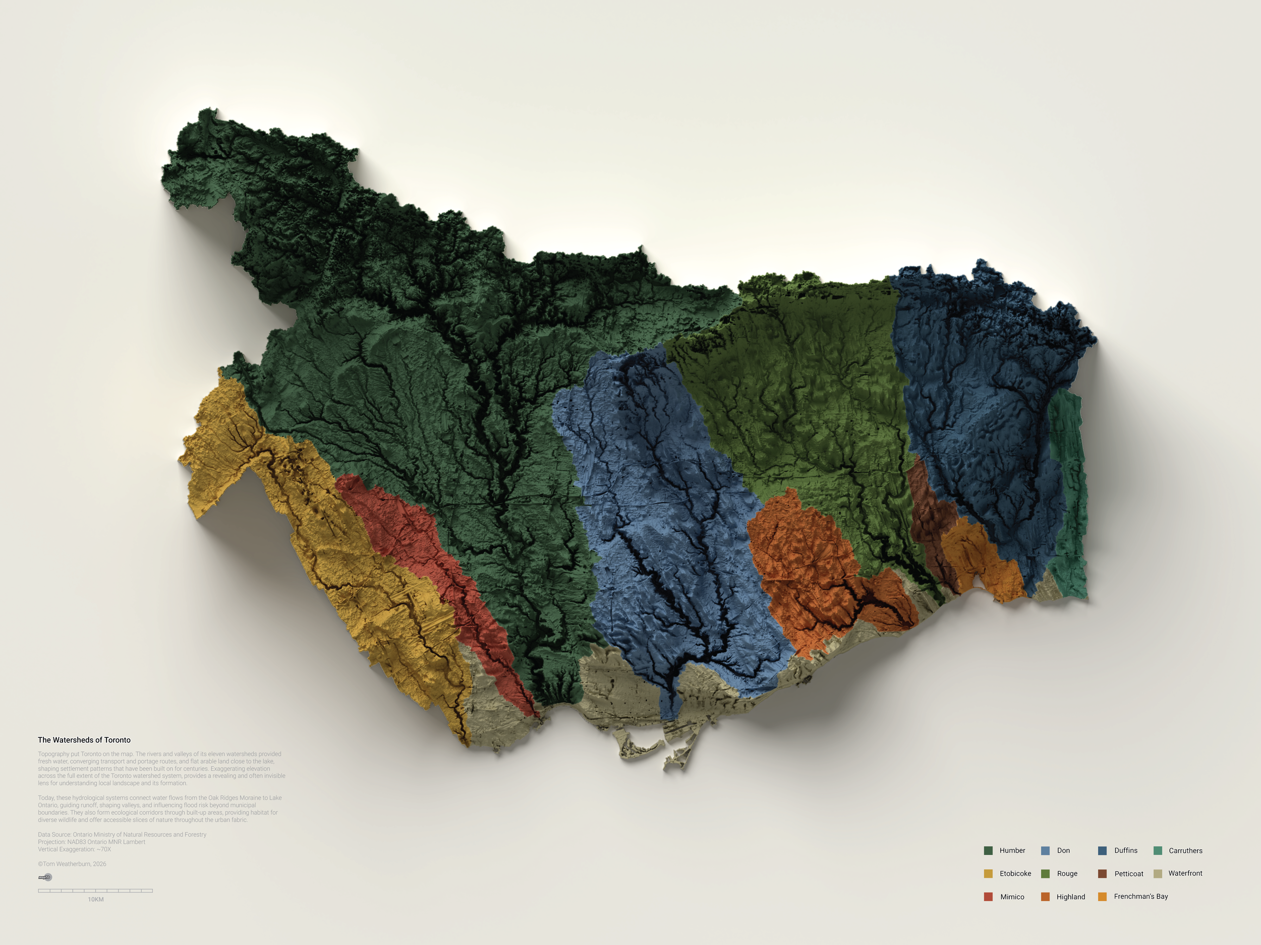
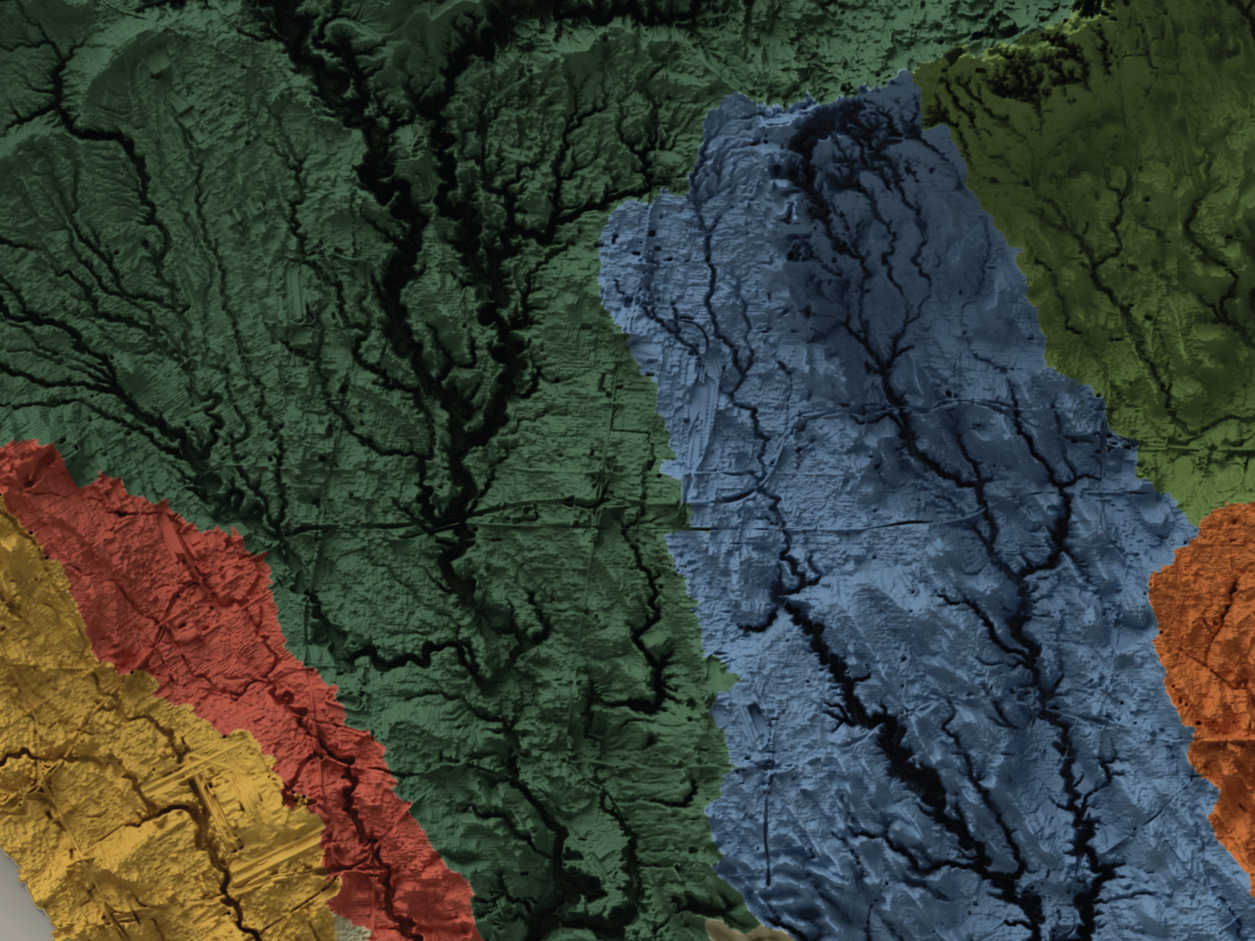
Topography put Toronto on the map. The rivers and valleys of its eleven watersheds provided fresh water, converging transport and portage routes, and flat arable land close to the lake, shaping settlement patterns that have been built on for centuries. Exaggerating elevation across the full extent of the Toronto watershed system, provides a revealing and often invisible lens for understanding local landscape and its formation.
Today, these hydrological systems connect water flows from the Oak Ridges Moraine to Lake Ontario, guiding runoff, shaping valleys, and influencing flood risk beyond municipal boundaries. They also form ecological corridors through built-up areas, providing habitat for diverse wildlife and offer accessible slices of nature throughout the urban fabric.
Data Source: Ontario Ministry of Natural Resources and Forestry
Projection: NAD83 Ontario MNR Lambert
Vertical Exaggeration: ~70X
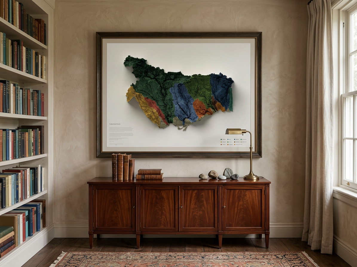
32” x 24” Print