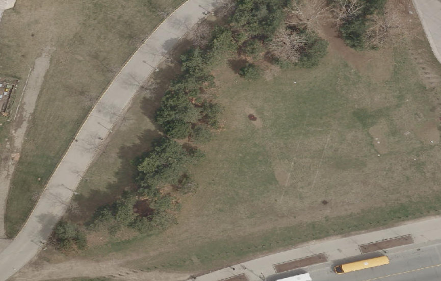
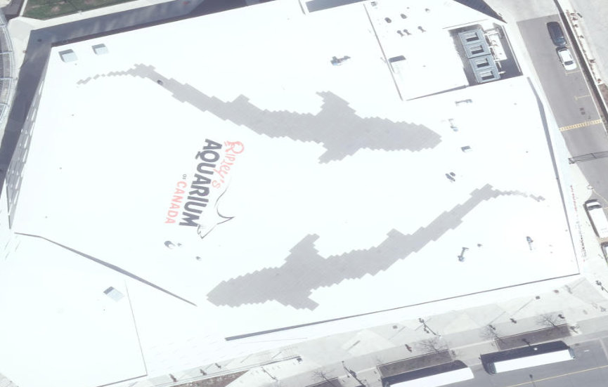
Views of Toronto Changing From Above
The images below capture change in select parts of Toronto from 2011 to 2016. These images are taken from the City of Toronto's openly available orthoimagery which you can access here.
If you want to experiment with the imagery as well, I suggest becoming familiar with QGIS, where you can add a new WMS/WMTS Layer and use the different urls provided by the city.
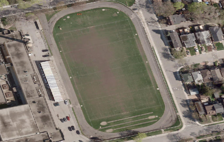
Removal of the slides at Ontario Place

2011

2016